

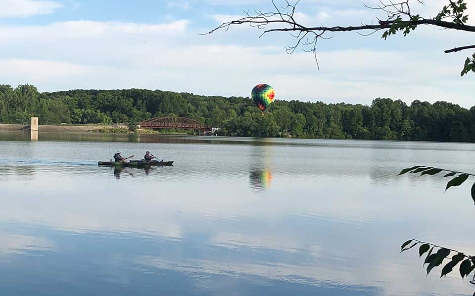
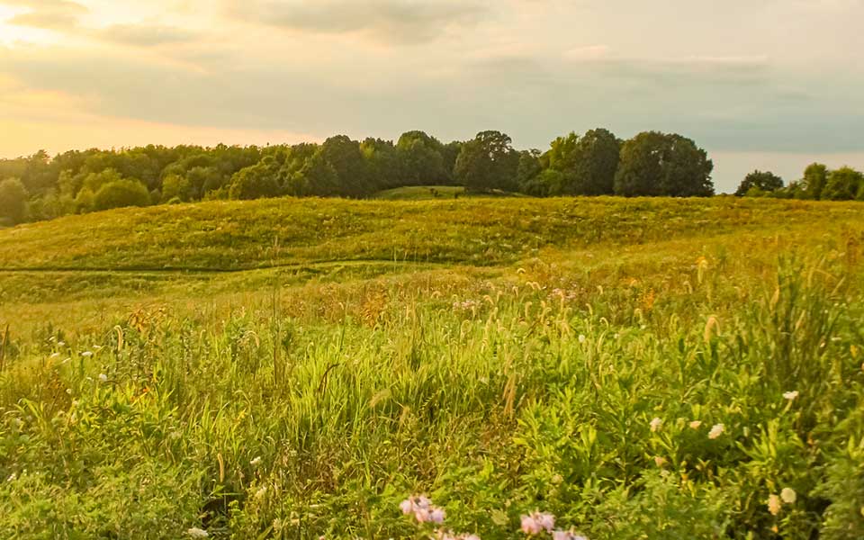
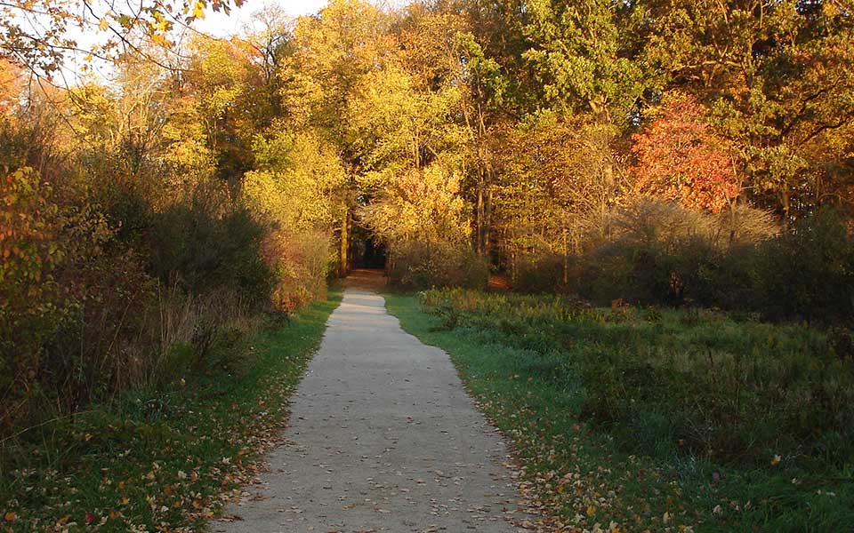
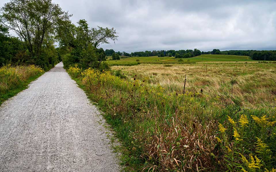

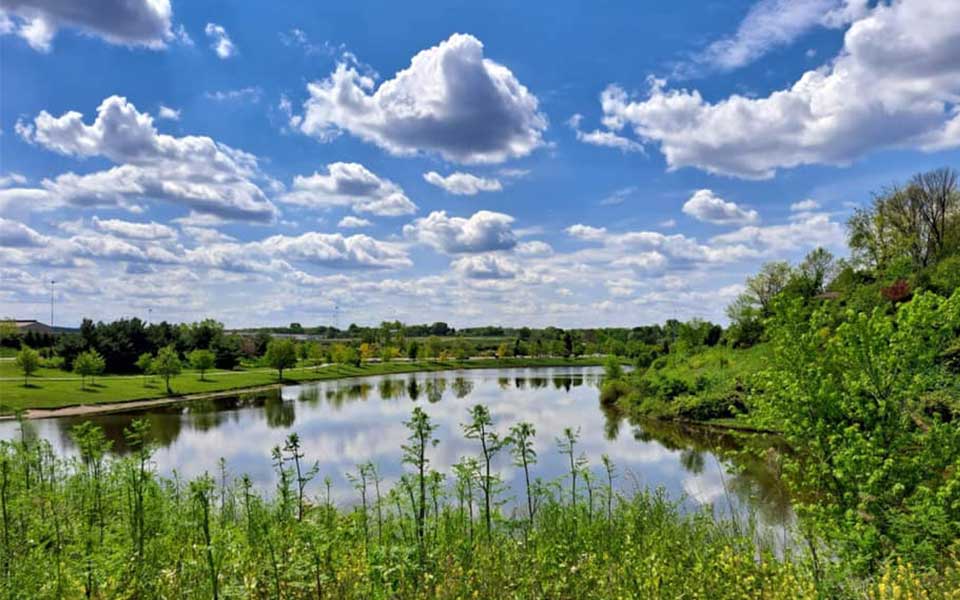
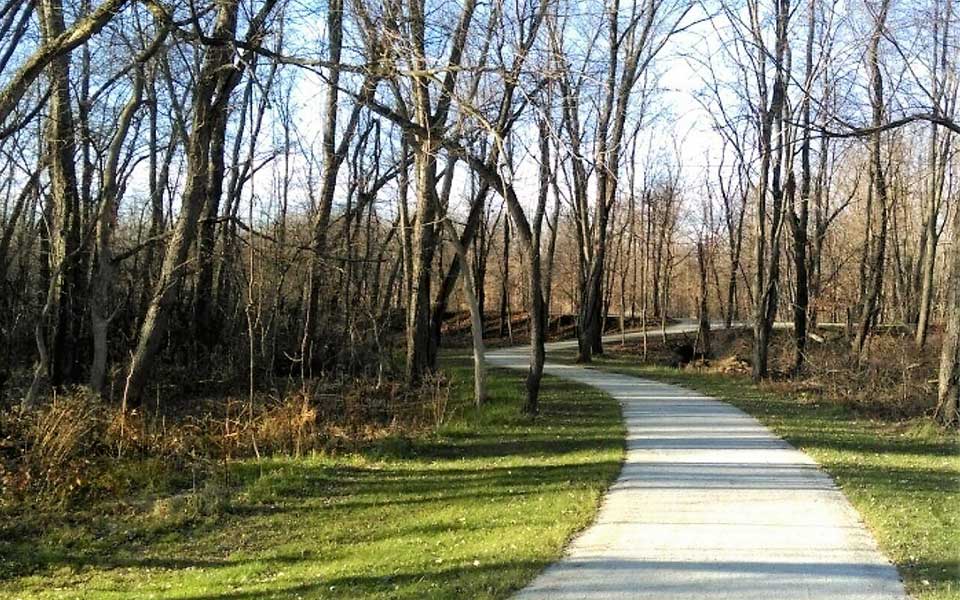
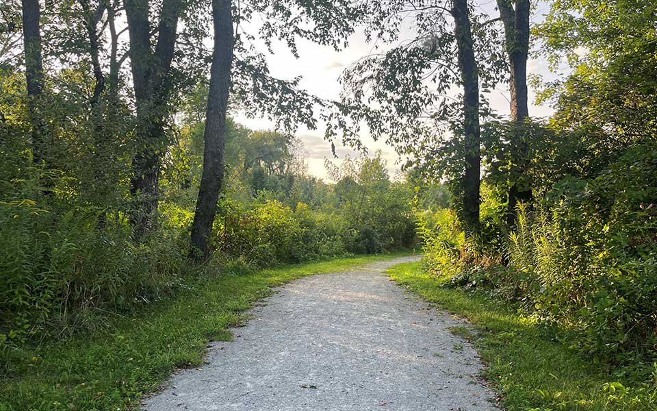
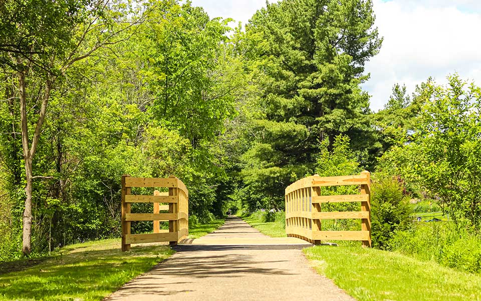
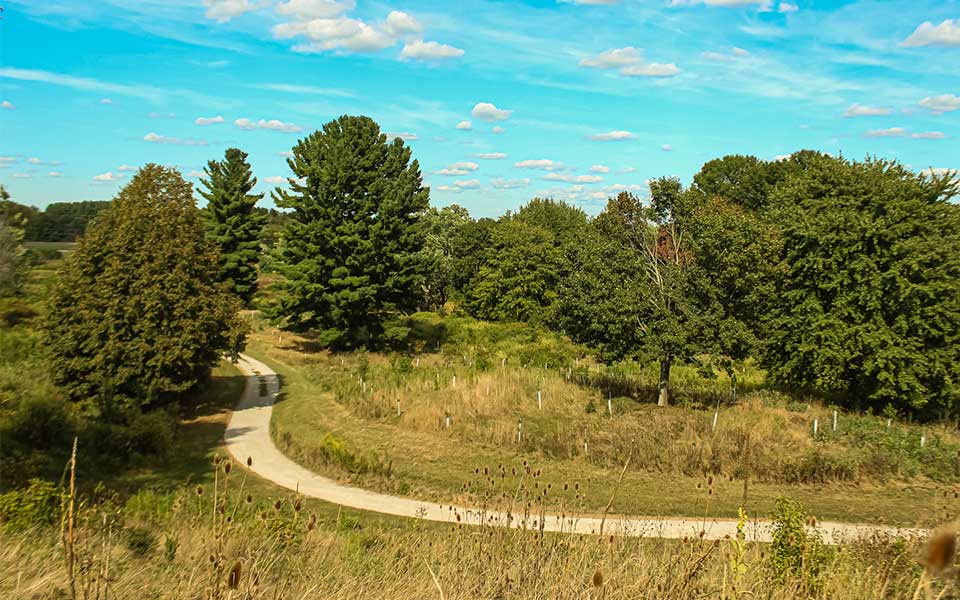


Stark Exploring Trail Challenge
Hike your way through the changing colors of Stark Parks as you check off your 2025 Stark Exploring passport. The annual Stark Exploring
challenge runs from September 1st to December 31st, hike 10 of the 14 selected trails and celebrate your accomplishment with a Stark Exploring hiking stick for purchase and the 2025 shield!
All mileage is based on the honor system and the program is open to all ages. First-year participants can purchase the hickory hiking stick and an annual shield.
Sticks and shields can be picked up, after you have completed the hikes, at Sippo Lake Park's Exploration Gateway (located at the north entrance at 5712 12th St NW, Canton). Supplies are limited and are first-come, first-served— while they last.
Please bring your completed form with you. Payment is cash or check only.
Participation and Cost
First Year Stick...$15 per person Stark County Resident
2025 Shield...Free for Stark County Residents, $5 non-resident
Receive your Rewards
Turn in your completed passport at Sippo Lake Park's Exploration Gateway (located at the north entrance at 5712 12th St NW, Canton). Payment is cash or check only. Pick up is available Monday to Friday, 8:30 a.m. to 4 p.m.
Supplies are limited and are first-come, first-served— while they last. All forms should be turned in by January 10, 2026.
Shield attachment assistance will be offered inside the Exploration Gateway on Saturday, January 10, 2026 from 10 a.m. to 2 p.m.
2025 Stark Exploring Passport
Helpful Information
Find more detailed directions and information about each location below.
- Fry Family Park (Westbrook Trail)
Parking: 2533 Farber St. SE, Magnolia (Shelter Area)
Round Trip Mileage: 2.4 miles
Surface: Mowed Grass and Turf
Begin at the shelter and take the Westbrook Trail over the main driveway, around the pond, and meet up with the North Trail. At the intersection, look down toward the Westbrook Trailhead or up toward the North Trail and know you don't have to climb either for this year. - Hoover Trail: Washington Square Loop
Parking: 1325 E. Maple St., North Canton, 44720
Round Trip Mileage: 2.30 miles
Surface: Limestone and sidewalk
Begin at the Hoover Recreation Complex ballfields and head north down the trail at the back of the parking lot. When you get to a split in the trail where a signs states Marquardt to the left and E. Maple St. to the right, head right!
After a short section on the neighborhood sidewalk, you will walk next to Starbucks Drive-Thru. Turn right to use the sidewalk in front of Washington Square shopping center and follow west to return to the E. Maple St. Trailhead parking area. Bonus points if you do some shopping and carry your haul back with you! - Iron Horse Trail: Option #1 FCC to Beechwood St. or Option #2 FCC to Bayton St.
Parking: First Christian Church Trailhead, 1141 W. Beech St., Alliance 44601
Round Trip Mileage: 1.4 or 3.7 miles
Surface: Limestone
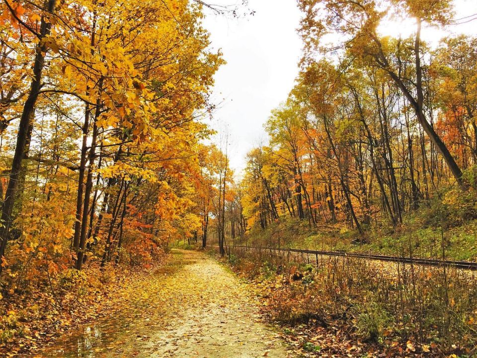
Head down the trail from the parking lot near the picnic shelter. Turn left to travel south on the former railroad route. Turnaround at Beachwood for the 1.4 mile route or cross Beechwood Ave. and Beech St. before a scenic stretch to Bayton St., the 3.7 turnaround point. - Mahoning Valley Trail: Deer Creek Reservoir to Greenbower St.
Parking: Deer Creek Reservoir, 14514 Price St. NE Alliance 44601
Round Trip Mileage: 2.20 miles
Surface: Limestone
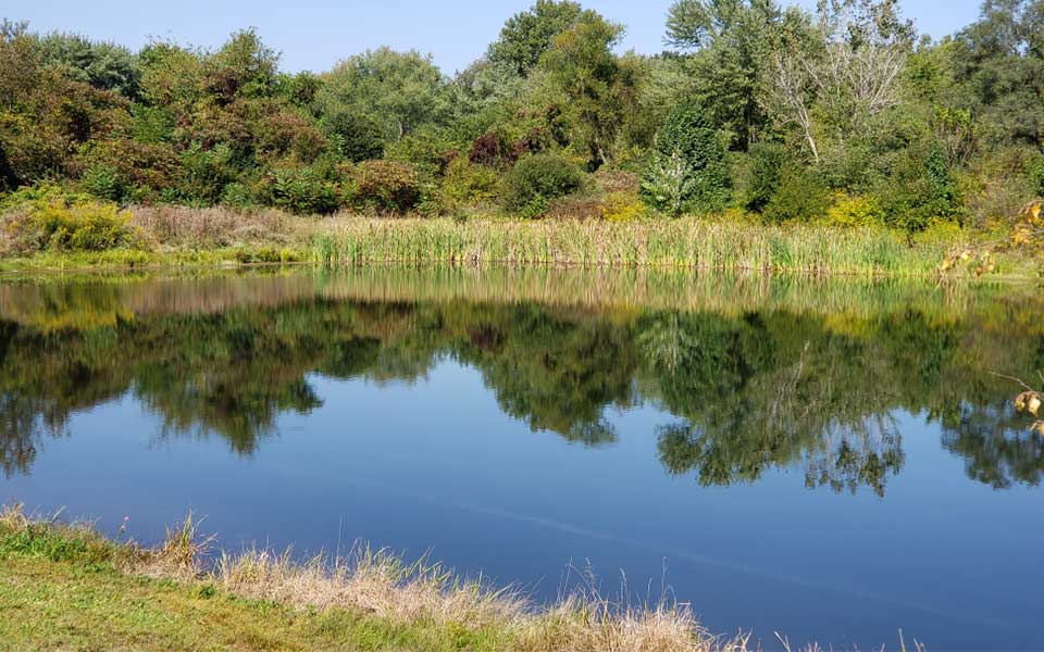
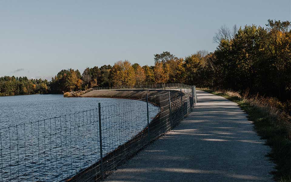
Look for the kiosk in the Deer Creek Reservoir Parking Lot to travel down the Mahoning Valley Trail on the shoreline of the reservoir. The bridge will take you over the spillway between Deer Creek and Berlin Reservoirs and then continue in between the trees to Greenbower St., the turnaround point. On the way back, you might hear a splash from jumping fish. - Olde Muskingum Trail: Option #1 Butterbridge south to Turnaround sign or Option #2 Butterbridge Ave. south to Forty Corners.
Parking: West side of Tuscarawas River on Butterbridge Ave.
Round Trip Mileage: 2.5 or 6.8 miles
Surface: Limestone
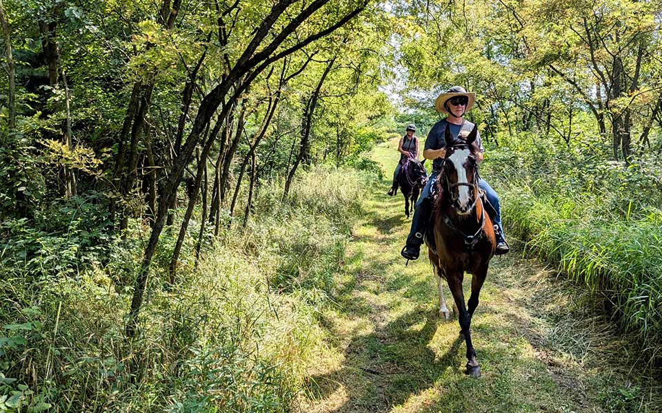
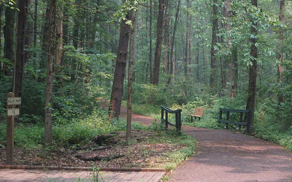
Use the large parking lot on the west side of the Tuscarawas River (next to the Railroad tracks). Head south on this mostly shady and wide trail shared with equestrians and bikers with occasional views of the Tuscarawas River. Turnaround at the sign just over a mile down the trail for Option #1 or continue to the end of the trail at Forty Corners for the longer Option #2. If choosing Option #2 you could use the Towpath Trail to loop back and travel north for a little change of scenery. - Petros Lake Park: Mindfulness Walk
Parking: 3519 Perry Dr. SW, Canton 44706
Round Trip Mileage: 1.10 miles
Surface: Limestone and Natural Surface
Use the north entrance to travel into the park and follow the signs to Shelter #1/Woodland Shelter on the right. The trail begins to the right of the shelter. The walk typically takes 45 minutes to an hour to complete. - Pike Ridge Park: Loop Trail
Parking: 7498 East Sparta Ave., Magnolia, 44643
Round Trip Mileage: 2.50 miles
Surface: Improved gravel access road and natural surface with gradual and steeper climbing and descents.
From the parking lot, take the main gravel trail east and veer left at the gate. Turn left at Sign #5 and travel in between the two ponds. Turn right between signs #8 and #9 to return back on the other side of the loop. This trail has several gradual steep climbs and the majority of the route is in open fields without shade. It could be considered the most difficult option as part of the 2025 challenge. - Quail Hollow Park: Purple Trail: Paved Trail or Purple Loop
Parking: 13480 Congress Lake Ave., Hartville 44632
Round Trip Mileage: Option #1 .70 mile or Option #2 approximately 1.80 miles
Surface: Asphalt and Natural Surface trail
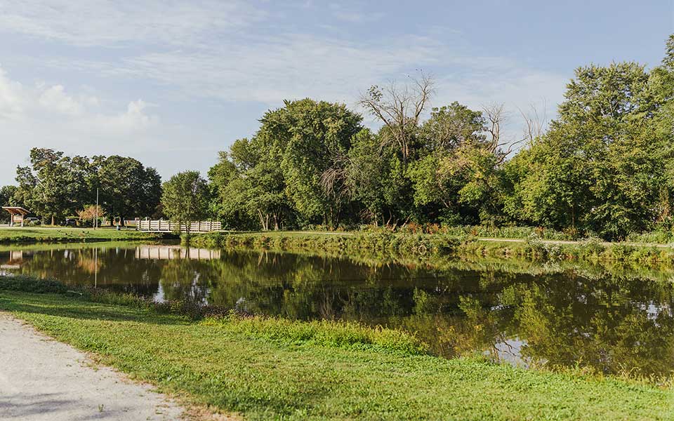
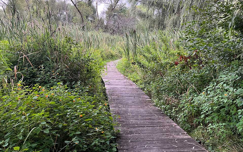
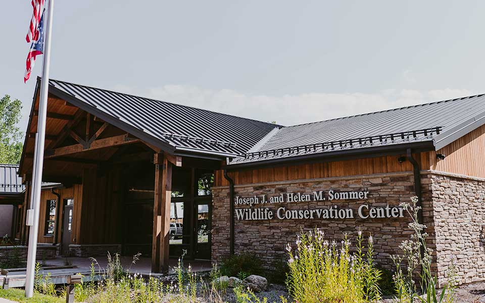
Veer right when you get to the driveway split to begin behind the Stewart Manor House and a little bit to the left where the asphalt trail begins. Hike this into the woods until the pavement ends and turnaround and head back for Option #1.Turn left at Sign P7 and follow the natural surface Purple Trail into the tree line to begin the 1.80 mile loop. You will parallel Pontius St. for a short time and follow the Buckeye Trail (that goes around the state of Ohio). If needed, there are two connectors to shorten the loop between both sides of the Purple Trail. Cut over in front of the fishing pond and use the path heading from the pond parking lot through the tree line to the Manor House. A historical park and a historical walk too! - Sippo Lake Park: Exploration Gateway Shelter to Wildlife Conservation Center
Parking: 5712 12th St. NW, Canton 44708
Surface: Crushed Limestone
Round Trip Mileage: .9 mile
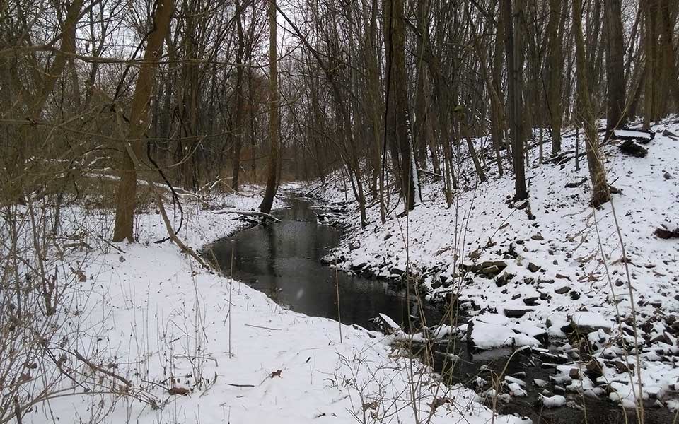
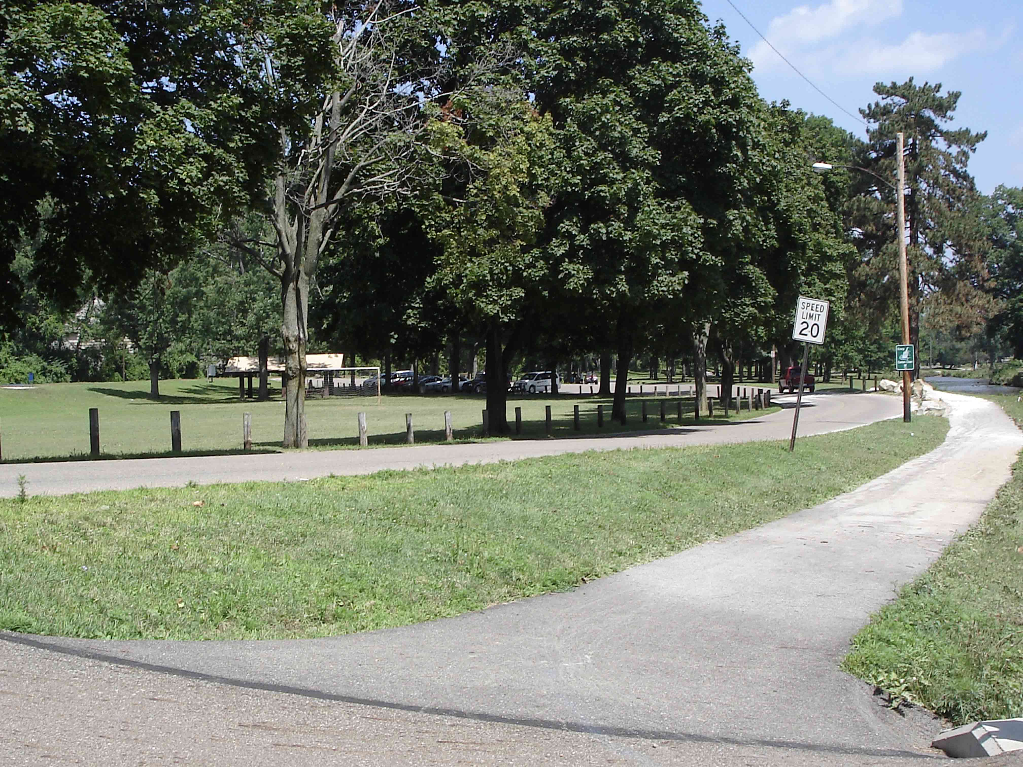
Park in the first parking lot on the right as you come down the driveway. There will be a picnic shelter and small playground right next to the trail. Take the trail around the bend, cross the first bridge over the creek. Continue straight when the trail presents its first option and then left at the second split. This will take you behind the Wildlife Conservation Center outdoor enclosures, cross the parking lot at the front of the building and turn right, past the flight cage, to catch the trail back to the shelter. If hiking between 8:30 a.m. and 4 p.m., go around front and enter the Wildlife Center animal enclosures to see some wildlife up close. - Sippo Valley Trail: Option #1 Alabama Ave. to Deerfield Ave. or Option #2 Alabama Ave. to W. Lebanon Rd.
Parking: Alabama Ave. Trailhead (Pull off parking), 2200 Alabama Ave. NW, North Lawrence 44666
Round Trip Mileage: Option #1 2.60 miles or Option #2 4.60 miles
Surface: Limestone and Asphalt
Cross Alabama Ave. and head west from the parking lot to head down the former railroad. Expect some flat and shaded areas mixed with more open areas, especially after the leaves come down. Take a picture at the Welcome to Stark County sign at Deerfield Ave and turnaround for Option #1 or continue into Wayne County to W. Lebanon Rd. for Option #2. - Congressman Ralph Regula Towpath Trail: Option #1 John Glenn Trailhead South to Turnaround Point or Option #2 John Glenn Trailhead to Craig Pittman Trailhead
Parking: John Glenn Trailhead, 8000 Warmington Rd. SW, Massillon 44646
Round Trip Mileage: Option #1, 2.50 miles or Option #2 7.2 miles
Surface: Limestone
Enjoy a beautiful stretch of the Towpath Trail along the Ohio & Erie Canal and Tuscarawas River with benches for breaks along the way. If taking Option #2 you will travel around the Village of Navarre with some luck you will smell the freshly baked bread after several road crossings. - Walborn Reservoir: Option #1 Red Trail or Option #2 Shoreline Trail
Parking: 11324 Price St. NE, Alliance 44601
Round Trip Mileage: Option #1 1 mile or Option #2 4.60 miles
Surface: Natural Surface
The Red Trail is located across Price St. from the park entrance and marina building. It is a shared equestrian and hiking trail close to the water. Follow the red markers for a short loop out to a peninsula and back a main trail.The Shoreline Trail begins behind the Walborn Reservoir Marina and heads west with occasional views of the water before ending at Reeder Ave. where you will turnaround and head back the same way. Enjoy the views of the reservoir and a bridge and boardwalk crossing. Expect a few small hill climbs and descents. - West Branch Trail: Option #1 12th St. to Fulton Rd or Option #2 12th St. to 38th St.
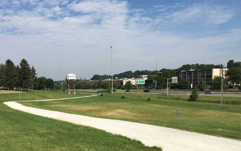
Parking: 1305 Stadium Park Dr. NW, Canton 44708
Round Trip Mileage: Option #1 2.20 miles or Option #2 5 miles
Surface: Limestone and Concrete
Park at the Timken Gatehouse near 12th St. and cross the parkway to the trail running along the creek. Head left. Turn around at Fulton Rd. for Option #1 or continue across using the crosswalk, cross the bridge and the creek will now be on your left as you make your way on Option #2 route to 38th St. This route runs parallel to I-77 and under Rt. 62 and offers an alternative transportation method to travel between Canton and the Belden Village area. - Hiker's Choice-Choose any trail within Stark Parks.
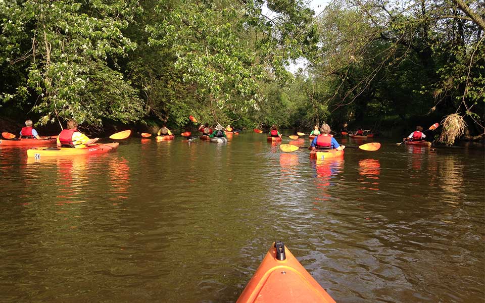
Use the Parks and Trails menu to search by activity or amenity to plan your next adventure.