Tuscarawas Water Trail
Tuscarawas River, Canal Fulton, Massillon, and Navarre
Open Daily: All parks are open 24 hours a day, unless otherwise posted.
General Information: 330.477.3552
On-Duty Ranger: 330.353.2377
Rentals and Reservations: 330-409-8096
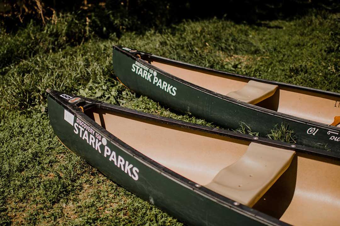
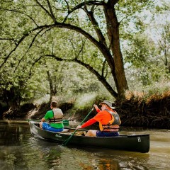
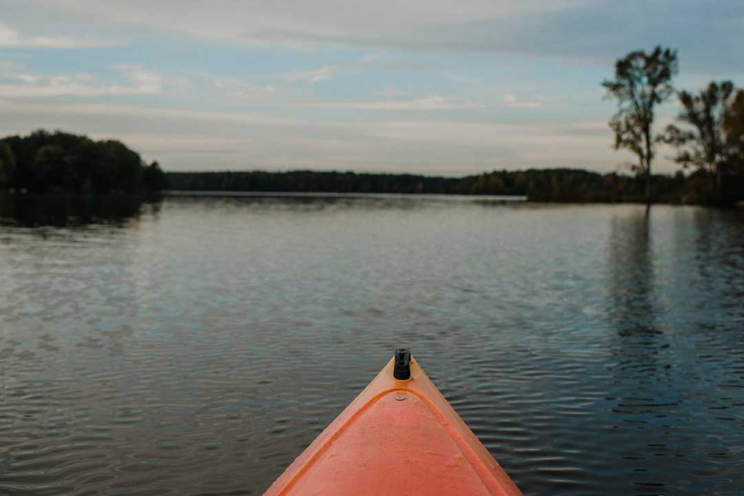
The Tuscarawas River Water Trail takes canoe and kayak paddlers through the center of urban living to the peaceful rural escapes while passing historical sites and natural landscapes along the way. Whether paddlers are looking for a quick jaunt between towns or a longer trip through quiet stretches of nature, the Tuscarawas River has it all. The 112.5 mile long Tuscarawas River Water Trail meets up with the 112 mile long Muskingum River Water Trail in the City of Coshocton, for a total of 224.5 miles of designated water trail.
Stark County Water Trail Locations
Three area canoe liveries in Canal Fulton, Massillon, and Bolivar attract people to the river with private or permission-based put-ins and take-outs and equipment rentals. The rest of the river has been largely unused by paddlers. The Water Trail provides approved put-in and take-out locations along the Tuscarawas River for those with their own equipment.
In the Massillon area, a take-out under Lake Ave. (RM 92.1) exists just before the Lake Ave. Trailhead and a submerged pipe hazard.
The Craig Pittman (RM 83.8) take-out and put-in is located in Navarre, on Hudson Drive SW. Limited parking available within 100 feet of the access on river left. The water trail access drive and parking is located just west of the larger trailhead parking area, which can accommodate trailers and additional water trail access parking, as needed.
Additional Stark County locations are being considered and evaluated. Approved locations include a sign stating the area as part of the Tuscarawas River Water Trail.
About the Trail
The Water Trail designation was coordinated by Muskingum Watershed Conservancy District through a program administered by The Ohio Department of Natural Resources Division of Parks and Watercraft. This program is designed to encourage community support, maintain access points for public use, create a map and brochure with information about access points and safety information that is easily accessible to the public. All access points must be public, and all hazards must be identified and signed. Additional signage along the river allows for ease of use by paddlers.
Activities
- Canoeing
- Kayaking
Amenities
- Canoe/Kayak Launch Area
Share Your Experience
The Stark County Park District prohibits the use of motorized vehicles in this park and on its trails. Sections of trail may not be suitable for wheelchair access. Weather may impact the accessibility of trails, always use caution. Ohio Revised Code E-bike laws apply.
